Russia’s seizure of the port of Mariupol, “Password” to control the Black Sea
Russia’s seizure of the port of Mariupol, the password to control the Black Sea
The Sea of Azov port of Mariupol, reduced to a wasteland by seven weeks of siege and bombardment that Ukraine says killed tens of thousands of civilians, could become the first big city captured by Russia since its invasion.
Russia said more than 1,000 Ukrainian marines, among the last defenders holed up in the Azovstal industrial district, had surrendered

Mariupol, home to more than 400,000 people before the war, is the biggest Ukrainian city on the Sea of Azov and the main port serving the industries and agriculture of eastern Ukraine. It is also the site of some of Ukraine’s biggest metals plants.
On the eve of the war, it was the biggest city still held by Ukrainian authorities in the two eastern provinces known as the Donbas, which Moscow has demanded Ukraine cede to pro-Russian separatists.
Its capture would give Russia full control of the Sea of Azov coast, and a secure overland bridge linking mainland Russia and pro-Russian separatist territory in the east with the Crimea peninsula that Moscow seized and annexed in 2014.
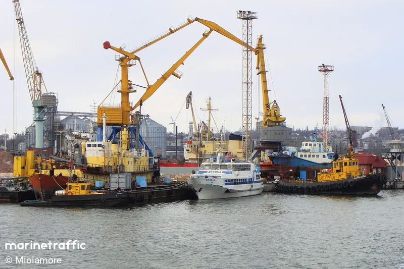
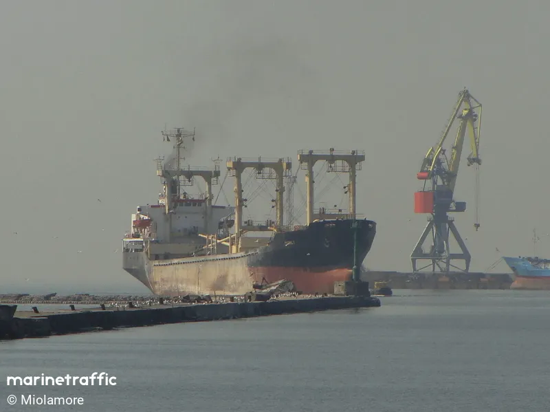
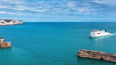
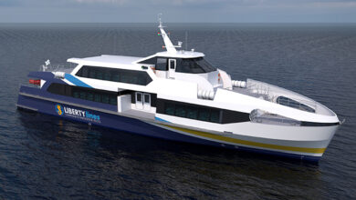
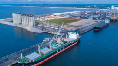
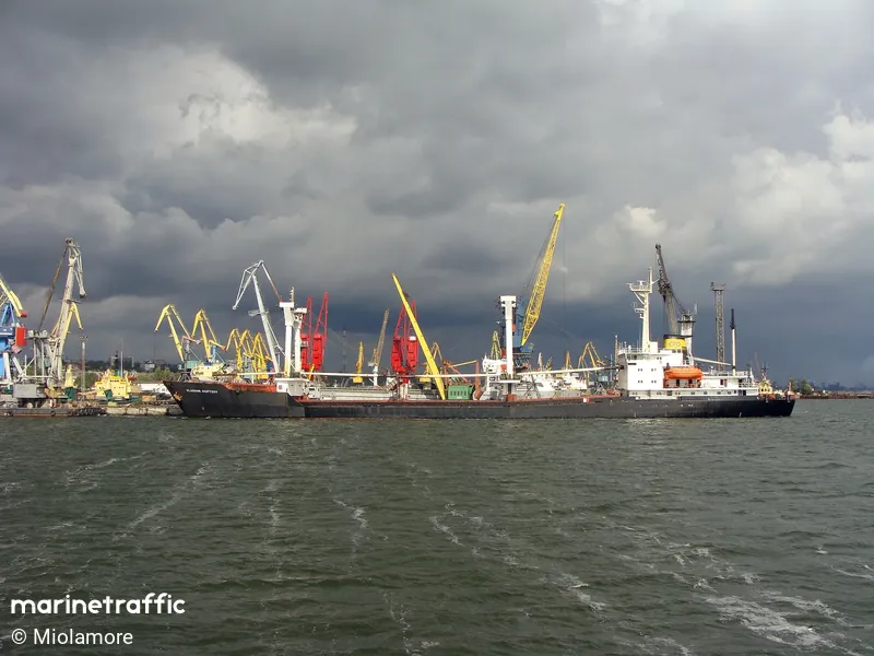
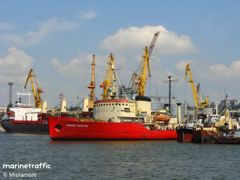
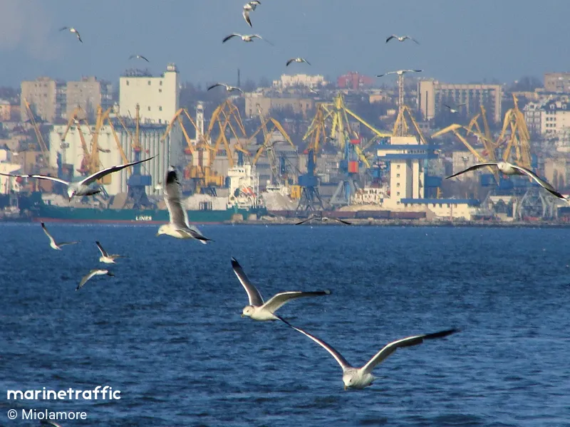
MARIUPOL is a Large-sized Port. The types of vessels regularly calling at MARIUPOL are General Cargo (55%), Bulk Carrier (25%), and Tanker (6%). The maximum length of the vessels recorded to have entered this port is 200 meters. The maximum draught is 7.9 meters. The maximum Deadweight is 37534t.
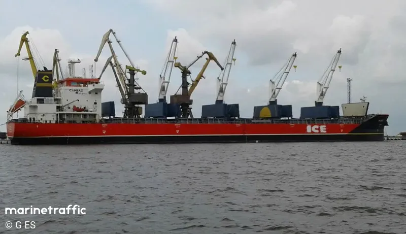
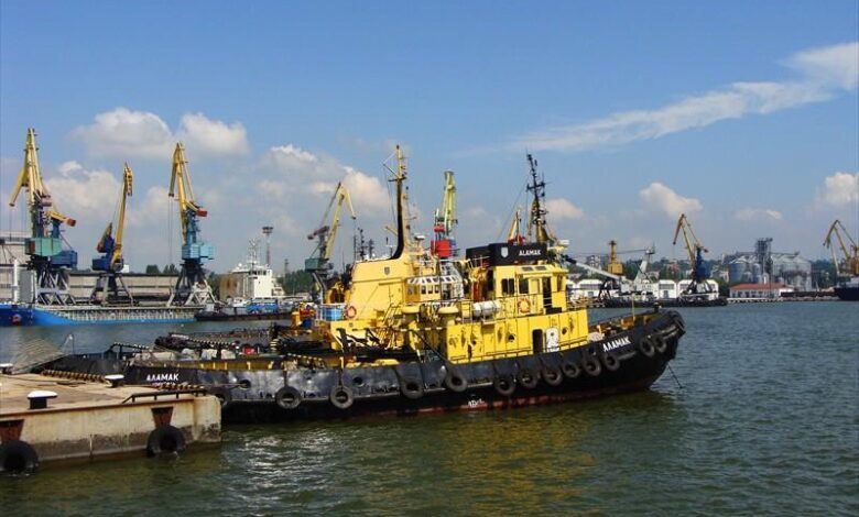
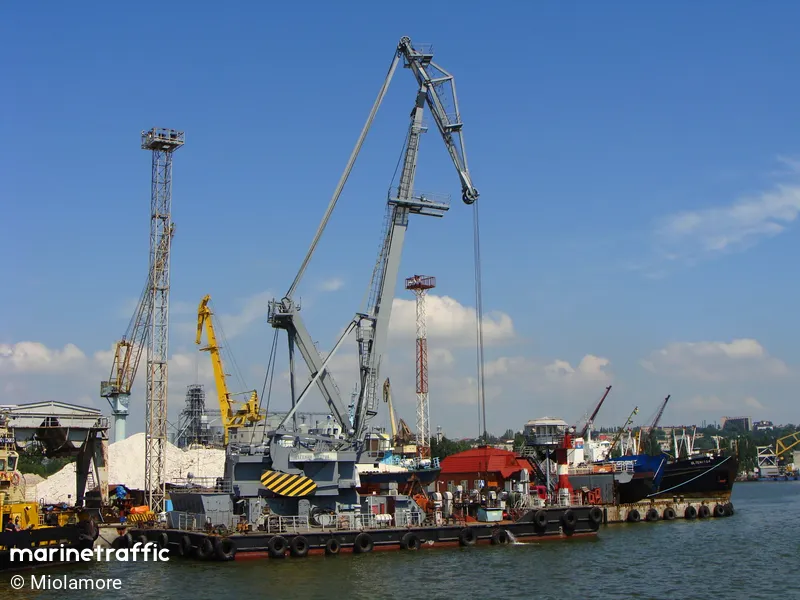
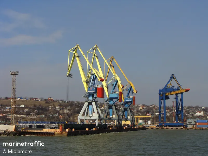
The Port of Mariupol has ample equipment to handle the full range of cargoes. It maintains floating cranes of 100-150 tons of capacity for heavy-weight transshipments, gantry cranes with from 5 to 50 tons capacity, and the three floating cranes with 16-ton capacity.
MARIUPOL is located at the Black Sea, Azov Sea in Ukraine at coordinates N 47° 04′ 10.79″ – E 037° 32′ 12.12″. The official UN/Locode of this port is UAMPW.
The Port of Mariupol boasts Ukraine’s biggest coal-loading complex with the capacity to handle five million tons of coal per year from the mines at Donbas, Kuzbass, and other coalfields. The new container terminal is equipped for high-speed handling of containers, and it has a capacity for up to 50 thousand 20-foot containers per year.
The local time at MARIUPOL is 2022-05-03 07:54:00 and the time zone is UTC +3. The wind in the port area blows from the East direction at force 1 Beaufort. 0 ships have arrived in this Port within the last 24 hours. Currently, there are 2 vessels in this Port and another 1 vessel are scheduled to make a port call at MARIUPOL.
The birth of the port of Mariupol was a logical continuation of the rapid development of the industrial Russian South in the second half of the 19th century. The shallow wharf in the mouth of the Kalmius River did not meet the development requirements of the fleet along with those of the mining and metallurgical industry of the Donets Basin (Donbas).
In 1886 construction began for a deepwater port in Mariupol, near Zintseva balka (locality).
The construction was planned for five years but was finished in three – under pressure from industrialists.
After a prayer in the presence of the Russian Minister of Railways and the Mariupol city governor Kharazhaev, there began the first loading onto a steamship of the Russian Society of Shipping and Trade “Medveditsa,” which on 3 September [O.S. 22 August] 1889 left for its destination.
This date is considered the start date of the port’s operation. The port had huge significance for the development of industry in the region and the whole country.