A ship’s waterline is the line where its hull meets the surface of the water. A load line, also called Plimsoll mark, is a marking indicating the extent to which the weight of a load may safely submerge a ship, by way of a waterline limit.
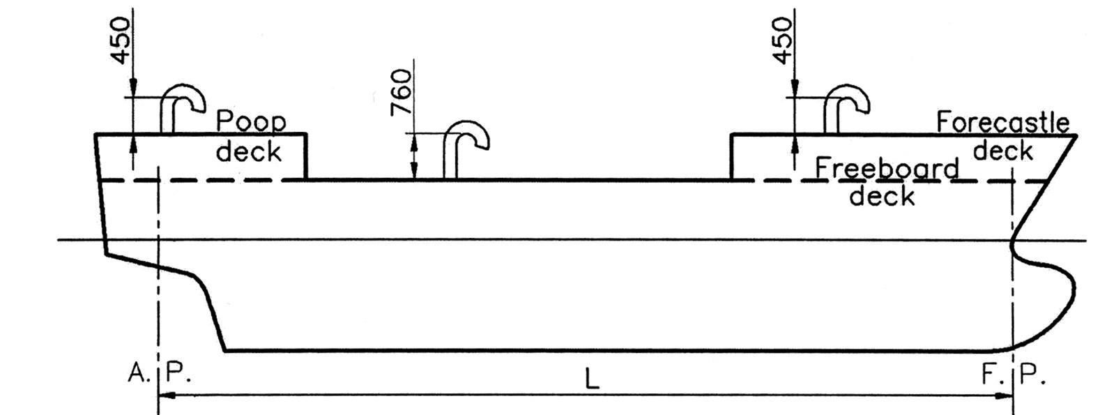
It is positioned amidships on both sides of a vessel’s hull and indicates the draft of the ship and the legal limit to which a ship may be loaded for specific geographical areas and seasons of the year.
The purpose of the load line is to ensure that a ship has sufficient freeboard (the height from the waterline to the main deck) and thus sufficient reserve buoyancy (volume of ship above the waterline).
It should also ensure adequate stability and avoid excessive stress on the ship’s hull as a result of overloading. Ships intended for the carriage of timber deck cargo are assigned a smaller freeboard as the deck cargo provides protection against the impact of waves.
The exact location of the load line markings is calculated and/or verified by a classification society, which then issues a load line certificate.
The first international convention on load lines was adopted in 1930. It was based on the principle of reserve buoyancy. In 1966 the IMO adopted a new convention, determining the freeboard of ships by subdivision and damage stability calculations.
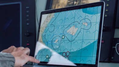
The International Convention on Load Lines 1966 applies to all vessels engaged in international trade and determines the permitted draft/freeboard for a vessel in different climate zones and seasons, which are defined in a special international load line zones and areas map.
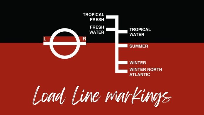
Load line markings are as follows:
TF Tropic Freshwater – the deepest permitted draft considering the relatively benign weather conditions in tropical waters and the fact that the vessel floats deeper in freshwater due to lower density than in saltwater.
F Freshwater – the deepest permitted draft in freshwater considering that the vessel floats deeper in freshwater than in saltwater.
T Tropics – deepest permitted draft in tropical waters considering the benign weather conditions in tropical waters.
S Summer – deepest permitted draft during summer considering benign weather conditions.
W Winter – deepest permitted draft during winter considering rougher weather conditions.
WNA Winter North Atlantic – deepest draft permitted considering the rough weather conditions likely to be encountered during winter in the North Atlantic.
Draft surveys
In addition to the association with reserve buoyancy and stability, load lines make it possible to determine, with reasonable accuracy by draft survey, the amount of cargo on board a ship.
A draft survey is used to determine the weight of any materials being loaded into or discharged from a vessel. It measures the displacement of the water both before and after the loading or unloading, with the resulting difference between the two displacements representing the weight of the cargo.
A draft survey is based on solid mathematics but usually involves one of the ship’s officers gauging the draft of the vessel from visual reference to the vessel’s forward, amidships and aft draft marks along with the ascertained list the vessel may have.
The combination of pure science and practical experience allows the officer to calculate the amount of cargo on board to within more or less 0.5 per cent of the actual quantity.
In many ports, a draft survey is the only way of independently confirming the amount of cargo the shipper declares as having been shipped and thus the only way of checking the accuracy of the quantity stated in the bill of lading (which is normally based on the shipper’s figures) and how much cargo was on board the vessel prior to the start of discharge.
.Source : MaritimeCyprus+ Gard